A new chapter in international space cooperation began on July 30, 2025, when the Indian Space Research Organisation (ISRO) and NASA jointly launched the NISAR (NASA-ISRO Synthetic Aperture Radar) Earth observation satellite. It was lifted onboard the GSLV F16 rocket from Satish Dhawan Space Centre, Sriharikota. This mission greatly advances the collection of scientific data, the Indian-American relation, and the level of cooperation between the two nations in technology. It also serves as an example of how far the two countries have come with regard to collaboration in the fields of science, technology, and geopolitics.
A Groundbreaking Cooperation: ISRO and NASA Join Forces
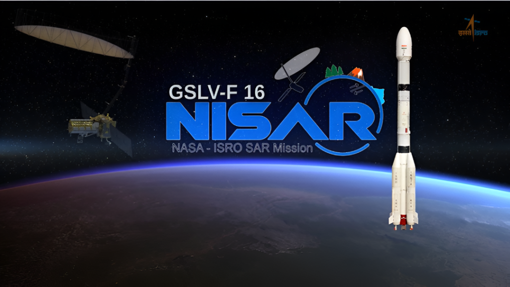
With an estimated cost of $1.5 billion, the NISAR satellite Earth monitoring project was one of the most cost-intensive and ambitious projects ever attempted by NASA and ISRO. It serves as an example to the world of how productive international collaborations can be towards the goals of Earth monitoring, especially with the ever-growing demands of climate change and other global disasters. ISRO and NASA have been working on this project for more than ten years now. As the primary contractor, ISRO furnished the satellite bus and supplied the launch on an indigenous GSLV F16. NASA supplied the L-band radar and 12 m antenna as well as the high-speed communication suite.
Launch Facts: GSLV F16 Rocket and Sriharikota Spaceport
ISRO commenced Sriharikota’s nation-leading spaceport and GSLV F16 Launchpad F with pride. At exactly 5:40 PM IST, the GSLV F16, mounted with 2393 kg of NISAR, a satellite, lifted off. GSLV F16 is a 3-stage launch vehicle with a height of 52 meters. The NISAR satellite was placed at an altitude of 745 km. NISAR is the first satellite put in such an orbit by ISRO’s GSLV rocket, a feat usually accomplished by PSLV rockets. This launch also signifies the 102nd mark in ISRO’s launches from Sriharikota, cementing Sriharikota’s Spaceport’s position as Asia’s space airport.
Mission NISAR: Global Sphere’s High-Res Earth Observation Performed Recurrently
The NISAR satellite is revolutionizing the earth observation field with the dexterous wand of L-band with S-band from ISRO and the dual S-band from NASA. With the capacity of examining both the globe’s land and ice surfaces every 12 days and detecting the minutest changes of a centimeter, NISAR outshines its predecessors. With the dual-frequency setup, scientists are now able to analyze and monitor Earth’s performance, which includes:
- Earth’s surface deformation: essential in predicting the occurrence of earthquakes, landslides, and volcanic eruptions
- Glacier and ice movement: Important for climate change analysis
- Deforestation, loss of permafrost, wildfires: Global warming’s impact on the carbon cycle
- Active response: swift cross-cloud mapping of PG 124.
- Monitoring infrastructure, bridges, and roadways in the glimpse of a satellite eye.
The satellite’s 12-meter unfurlable gold mesh antenna, a wonder of technology provided by NASA’s Jet Propulsion Laboratory, will transmit vast amounts of gold-standard telemetry to ISRO and NASA ground stations.
Science, Diplomacy, and Strategic Impact
Singh has described NISAR’s launch as “a defining moment in Indo-US space cooperation.” For the first time, metamorphic cross-national collaboration for the hardware integration of an Earth observation satellite has been conducted between India and the US. It reflects the complete scientific power of both nations united for humanity’s aid. Joint operation and command of the NISAR satellite will be shared between ISRO and NASA, with researchers from both countries leveraging the comprehensive data set NISAR will provide for critical climate, agriculture, and disaster resilience modeling.
What Happens Next?
Constituting a commissioning period of 90 days, NISAR will perform system calibration and antenna deployment after launch. Primary mission duration is set to 3 years, with a possibility of fuel-extending operation to 5 years. NISAR’s deployment will provide scientists, governments, and humanitarian agencies a greater insight into earth dynamics.